Clear Full Forecast

Local State Of Emergency And Evacuation Alert

By 250 News

Tuesday, December 11, 2007 03:59 PM

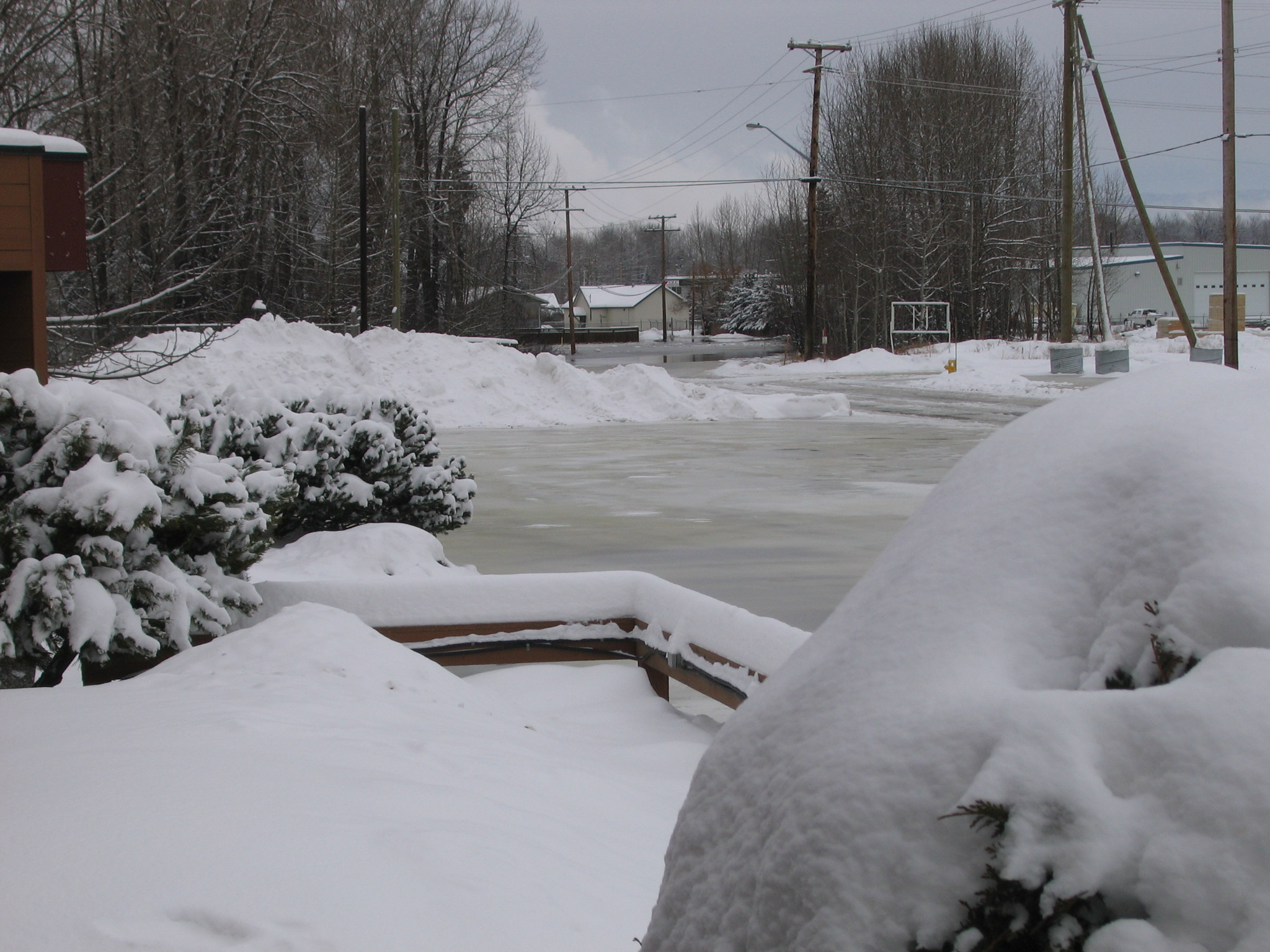
Ice and water on River Road
The City of Prince George continues to warn residents and businesses along the Nechako River of the potential for localized flooding. An expanded local state of emergency has been declared and includes the following areas:
Pulp Mill Road:
Nechako River south boundary
Pulp Mill road north boundary
Cameron Street Bridge west boundary
Fraser River east boundary
River Road:
Cameron Street bridge west boundary
Fraser River east boundary
Nechako River north boundary
1st Ave south boundary
North Nechako Road:
Cameron Street bridge east boundary
North Nechako road north boundary
City  Limits west boundary
Nechako River south boundary
Ospika Blvd:
East boundary of Wilson Park
Nechako River north boundary
Foothills Bridge west boundary
Ospika Blvd south boundary
The City of Prince George has declared an evacuation alert for the following areas:
  • McAloney Crescent
  • Ongman Road
  • River Road Pulpmill Road South Side
  • Foley Crescent
  • Kellher Road
  • Tomlin Road
  • Richard Road
  • Preston Road
  • Delhaven Subdivision
  • Stevens Drive
The evacuation alerts are issued to notify residents of the potential for loss of life from unstable river conditions.
The City has asked residents in the affected areas to prepare to leave on very short notice. Should an evacuation order be issued, a telephone number will be provided to those affected that may need transportation from the area.
A Reception Centre has been set up at the Prince George Civic Centre.


Previous Story - Next Story


Return to Home
NetBistro

Comments

Now its an emergency??what happened to monitoring it and waiting for the weather to make it go away??? Idiots!
Must be global warming-HE HE!
Spoken like someome who knows absolutely nothing about emergency planning ontwin. Perhaps take a boo at the PEP site and you'll see everything has been done by the book.

I suppose you'd do better?
Reality is the city said it was monitored 24 hours, but last night when the flooding started as I witnessed they couldn't get a single city employee down there until nearly one and a half hours after the river spilled its banks and I called to notify them, with the first city employee arriving in a sand truck at around 1:30 Am that had to turn around because the water was already to deep for it to drive through. Meanwhile a couple blocks away a whole army of city workers were busy clearing snow on 1st avenue. Two dump trucks and a loader could have prevented the flooding in 15 minutes if they would have acted and dumped a couple of truck loads of sand near the Pas Lumber building where the flooding originated.

If that is emergency planning then we are all in a lot of trouble IMO.
"you'll see everything has been done by the book."

Of coures ... spoken like a true bureaucrat ... if everything was done by a book those people can all breathe a sigh of relief.

So, the operation was a success but the patient died .....
Maybe Mr. Klein should be allowed to mine the gravel at the confluence of the two rivers again.

This is from New Brunswick which also has some fast moving rivers.

http://www.gnb.ca/0009/0369/0004/0004-e.asp

Channel Modification

Research and observations (Calkins et al., 1976) reveal that ice jams tend to form at sites where there are: surface obstructions, river bends, river channel slope changes, constrictions, low velocity pools and shallow river sections.

Channel modifications can be carried out in order to reduce the likelihood of ice jams. Such modifications include the removal of constrictions and surface obstructions such as piles, old bridge piers, and natural islands as well as the removal of sand and gravel bars. Channel diversions can also be constructed to by-pass an obstruction to ice and water flow. However, channel modifications should be evaluated on a site-specific basis.

In New Brunswick, a permit must be obtained before an alteration is made to the bed or banks of a watercourse. Projects are reviewed in order to protect individuals or structures, as well as fish habitat and the environment, which may be affected by the alteration.