


Geoscience BC Releases Quest Data
By 250 News
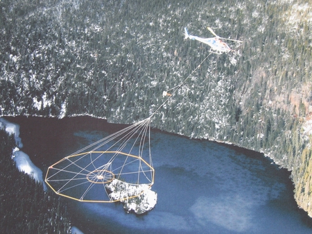
File photo of helicopter conducting an airborne magnetic survey, as was done with Quest
Prince George, B.C.- The President of Geoscience B.C. says interest was high at the Mineral Exploration Roundup Conference in Vancouver earlier today for the release of initial results from the $5-million dollar Quest mineral exploration project.
Since the Quest project -- surveying an area between Williams Lake and Mackenzie-Fort St. James -- was announced last June, mineral claim staking in the area has skyrocketed with more than 17-hundred claims by 114 companies or individuals, covering .75-million hectares of land.
Dr. Lyn Anglin says a lot of people from the various companies were on-hand for the release of two data sets:
1. results from the airborne electromagnetic survey, which measures the conductivity of rocks in the ground - Anglin says, "We use these techniques to try and develop a better understanding of just what the geology is, where there are structures that may be of interest to the exploration industry industry and, even in some cases, we might be lucky and find an anomoly in the data that indicates, perhaps, something related mineralization."
"What we’re really hoping is this data set will stimulate industry to do more exploration in this area," she says.
2. results from the re-analysis of stream and lake sediments collected by the federal and provincial governments a decade ago - The samples were re-analyzed using modern lab techniques to bring the data base to a modern standard.
Dr. Anglin says because so many companies have expressed interest in the project by laying claims in the area, Geoscience B.C. felt it was important to get the initial results out as soon as they were available. (She says full details of the data are downloadable from the Geoscience website) She says work will now begin on trying to quantify the data. "What we’re going to do...is do some additional processing and interpretaton of the data, but it’s a huge data set and we’re going to try and use our resources to do some more work on a few areas within the total survey area."
Meantime, a fixed wing aircraft was supposed to take to the air in Prince George today to carry on with the gravity survey that’s also part of the project. Anglin says "As of the end of the day today, it might be about 60-percent done." Geoscience hopes to release that data in the spring.
Previous Story - Next Story
Return to Home