Predicted Peak River Level Could Top 40-Year Record
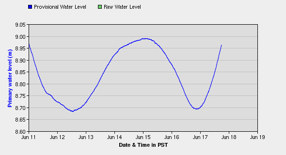
Environment Canada Water Supply graph of the levels of the Fraser River at South Fort George, resembles roller coaster ride.
Prince George, BC – If the Fraser River continues to respond to this past weekend’s rain the way the BC River Forecast Centre is predicting, it will come close, or surpass, a record level set in the city back in 1972.
The Forecast Centre said yesterday preliminary indictors suggest the river will peak between 10.2m and 10.6m at the water monitoring station at South Fort George by tomorrow or Wednesday.
The highest level recorded since monitoring began back in 1968, was set on June 15th, 1972, when the river hit 10.442m at that site. There have been several years that the river has risen above the flood level of 9.4m. During the flooding of 2007, the river peaked at 9.838m on June 8th of that year.
However, 1990 saw it climb slightly higher – hitting 9.901m on June 2nd.
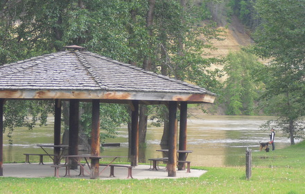
Water began seeping back into Paddlewheel Park at South Fort George yesterday afternoon
Comments
2012-06-18 03:45:15 = 9.181
Where is the river level measured?
53 54’04″N 122 44’00” or roughly by the entrance of the Hudsons bay slough.
They have been measuring it at paddlewheel park (Bird Ave.)for 5 days now.
Comments for this article are closed.