


The Worst May Be Nearly Over for P.G.
By 250 News
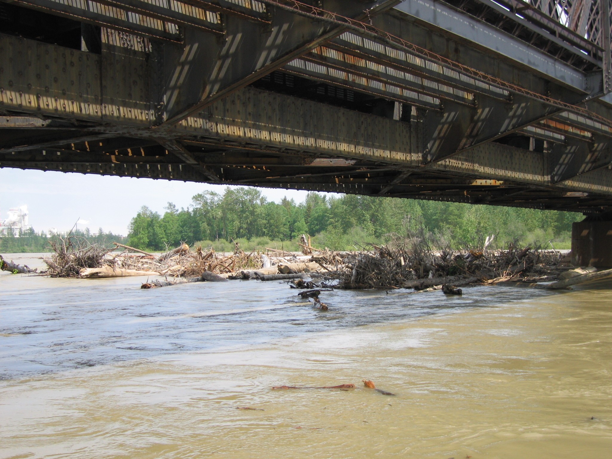
Debris collects around pier of the |CN bridge crossing the Fraser River ( photo opinion250 staff) Good news, the Fraser River will not reach the flood levels originally predicted. That is the word from the provincial river forecasters. The River Forecast Centre is now predicting the Fraser will peak at 9.9 metres, rather than the 10.4 initially forecast earlier this week. ( at right, the boat launch at Cottonwood Island Park is under as much water as the park itself photo opinion250staff) It is expected the Fraser will peak today or tomorrow.As of 8:00 last night the river at South Fort was at 9.745 metres. On Tuesday, residents of 10 homes along Farrell Street were given evacuation orders and about 70 homes in the surrounding area and on Pulpmill Road were issued evacuation alerts. City officials expected that no further alerts or orders would be necessary given the reduced river level predictions. Five residents of Farrell Street registered with the City’s Emergency Social Services program. On Wednesday, the City also installed about 200 metres of temporary dikes along River Road to enable that road to stay open. The only road closures in the City currently are in the Regents Crescent area, River levels are predicted to remain high over the weekend and for the next week.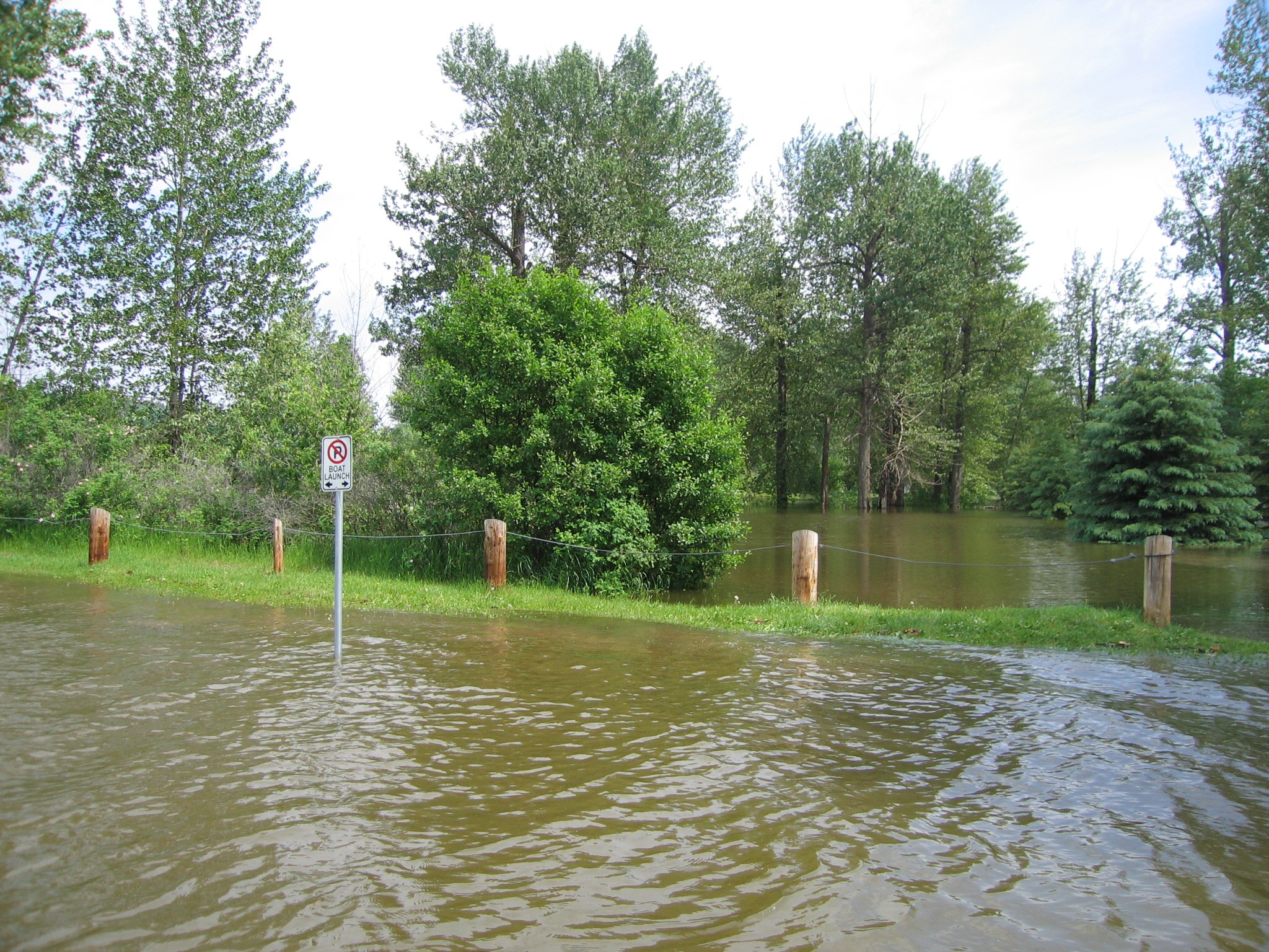
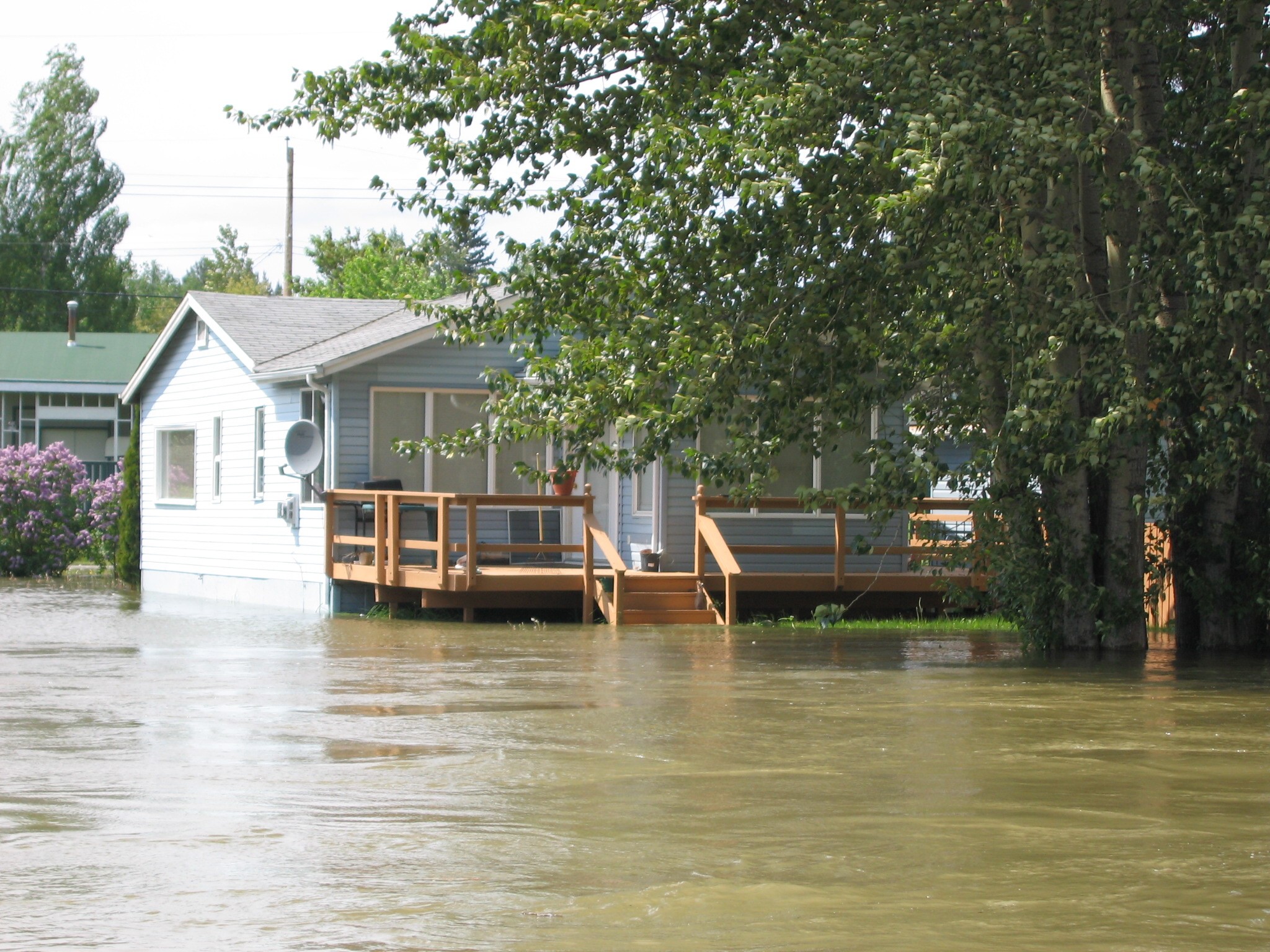 near Paddlewheel Park. Paddlewheel Park and Cottonwood Island Park, as well as some portions of the Heritage River trail system, remain closed due to flooding.
Previous Story - Next Story
Return to Home
at the CN bridge and all other bridges before it causes more damage.
Come on city--get it together-or we'll be without more bridges here in PG.