


Flood Risk Consultants Hear More Ideas
By 250 News
Thursday, July 17, 2008 04:36 AM
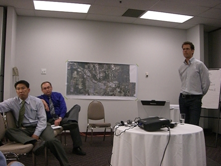
l-r Bill Cheung of McElhaney Engineering, City Engineer Dave Dyer, and Bruce Welch of NHC the Hydrology company which authored the flood risk report , listen to comments from those in attendance.
Prince George, B.C. - Only a handful of residents attended the public meeting on the flood risk analysis report at the Prince George Civic Centre last night. On hand were five presenters, two City Councilors, 2 members of the media and about 20 residents.
Although the report is the same as the one presented to Council on July 7th, this was the first opportunity the public has had to discuss the interim report with it’s authors.
Bruce Welch, one of the hydrologists behind the study, says there are some things that still need to be done, including setting up models to see what will happen if a dyke is placed at river’s edge, or if a set back dyke is put in place, or if the Nechako River is dredged. “Dredging would do little to offset the impact of the freshet” says Welch, but he adds the idea is still on the table for discussion because no one is certain what impact dredging might have in preventing an ice jam event.
The report’s authors had met with reps from industry earlier in the day. “There was a lot of discussion about the raising of River Road” says City Engineer Dave Dyer. He says the raising of the road was a project that had been underway for more than a year, and the meeting was an opportunity to clarify details and bring everyone up to speed on that project. “We advised them of the various options available with the River Road area, including the side channel, including several locations for dykes, so mostly the discussion was about River Road.”
The report authors left with a list of things which need to be considered before any final flood mitigation plan is adopted, things like; flows from the Skins Lake Spillway, the impact of groundwater on the north side of the Nechako River, the impact of increased flows in normally slow back channels because of dykes created in other areas, potential for erosion when water is diverted and re-opening channels which have been covered in, or which nature tried to carve out during the ice jam flood event.
The final report on phase one of the flood analysis will be delivered November 15th and another round of public consultation will take place in early December.
Previous Story - Next Story
Return to Home

"The interim report indicated that while dredging would have little effect to reduce the incidence of ice jam flooding, it also says there needs to be further work done on the possibility of dredging to reduce risk from the spring freshet."
The following quote from this story today seems like none of these people know what the hell they are doing or talking about.
They are contradicting themselves.
We don't need people like this dipping into our tax dollars.
Heads need to roll.
"Dredging would do little to offset the impact of the freshet” says Welch, but he adds the idea is still on the table for discussion because no one is certain what impact dredging might have in preventing an ice jam event."