The Beauty, After the Wintry Beast
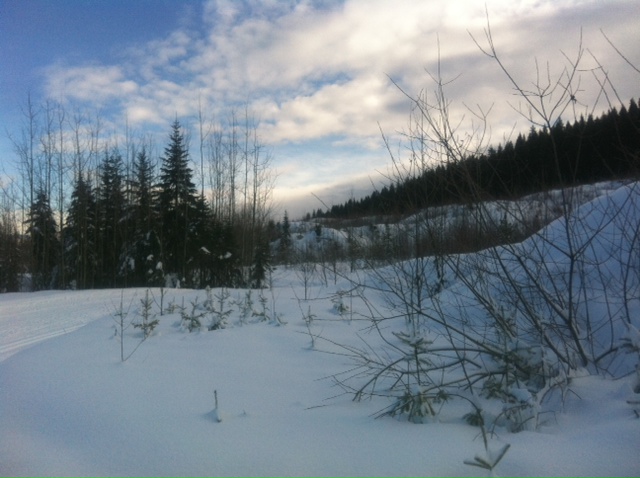
The view on the ‘Northern Lights’ route at the Otway Ski Centre
Prince George, BC – After being battered by a snowstorm yesterday, Prince George residents have certainly been able to enjoy the best that winter has to offer today.
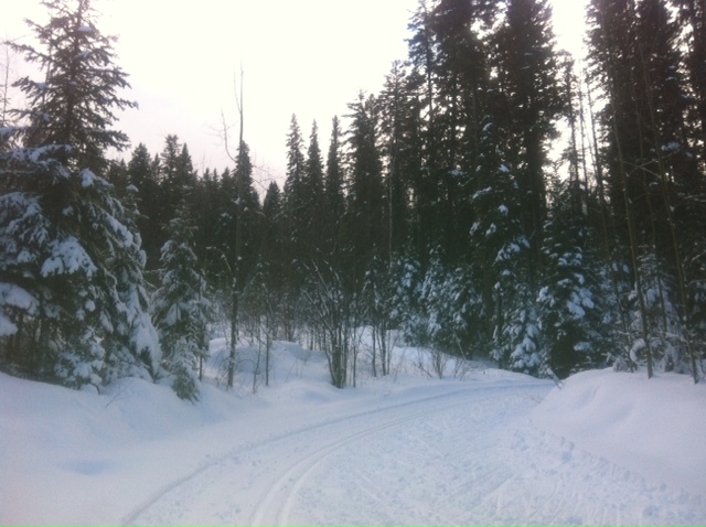 It’s the best of both worlds – lots of snow and warm temperatures with sunshine to enjoy the outdoors. The current temperature is 4-degrees – you can actually hear the snow melting off the tree branches.
Environment Canada is forecasting a mild week ahead. Tonight, there is a 60-percent chance of a rainshower late this evening, which could turn to wet flurries after midnight. The temperature will remain above the freezing mark at plus 1.
For tomorrow, it will be mainly cloudy with a slight chance of rain as the temperature holds steady at plus 2. Tuesday and Wednesday will be cloudy and warm with highs of 2-degrees. There’s a slight chance of rain on Thursday, with the high climbing to 4.
Friday and Saturday will offer up a mix of sun and cloud. Friday will remain warm at plus 4, but the high on Saturday is forecast to be minus 1.
Just what this week’s warm weather will mean for the flood watch along area rivers remains to be seen. An evacuation alert was issued last Tuesday for three residents living along the Bulkley River in Telkwa and it remains in place. There are no alerts in the Regional District of Fraser-Fort George. The City of Prince George has been monitoring the level of the Nechako River near Cottonwood Island Park since ice started to pile up during the recent coldsnap.
.jpg)
Comments
Comments for this article are closed.